I want to create an image showing the location of something and I know the GPS coordinates. What’s the easiest workflow to show the location of those coordinates on a map?
Edit: I don’t have a map image chosen yet.
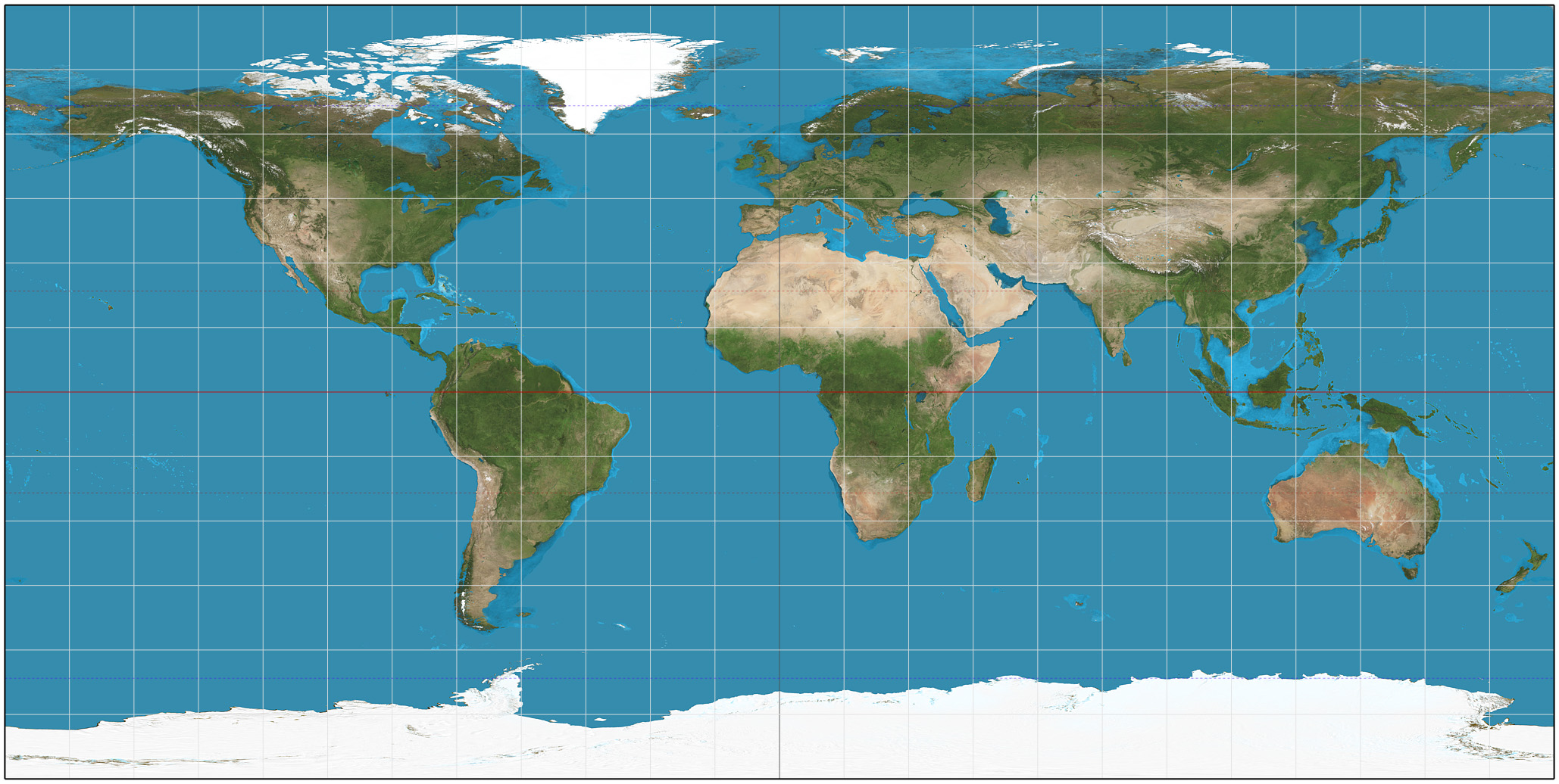
If you use a plate carrée projection (in which all lines of latitude and longitude are rectangular and equal), it’s a simple linear formula:
x = (longitude + 180) * (map width / 360)
y = (-latitude + 90) * (map height / 180)(Assuming west and south coordinates are negative, and all degrees are expressed as decimals.)
Start by choosing a map projection then find a map that matches that projection and use the appropriate conversion.
Can you enter them into open street maps or google maps and take a screenshot?
I want something more zoomed out and cleaner.
Leaflet. https://leafletjs.com/
I’m going to have to look at that, that seems to be the closest to what I’m looking for. Thanks.
If you’re ok zooming out far enough you can serve a static image of the pale blue dot and a red arrow pointing to it.
Type the coordinates into Google maps to find the location.
Then just make a dot on any other map in the same place.
Isn’t there like a convertor for this…not being rude but I had to do this a while back. Let me go and see if I can find it against. It would convert anything to any size. How big is your jpeg map btw?
I don’t have one yet.