

Alt text: “The Mercator projection drastically distorts the size of almost every area of land except a small ring around the North and South Poles.”
I thought the equator was the only part that wasn’t distorted?
They’re saying the ring around the North and South Pole is actually 1:1 scale. An inch of land is an inch of map.
This one is peak Dad Joke. I’m impressed.
I’m dumb AF please explain
The map is not the same size as actual Greenland
It’s that time for the West Wing Gail-Peters Projection Map scene
for even more of this same kind of joke, but from a totally different angle, may I present the “London To Edinburgh” sketch from Big Train.
One of my favorites.
(shilling for Waterman butterfly projection)
https://xkcd.com/977/ Randall Munroe wants to know your location
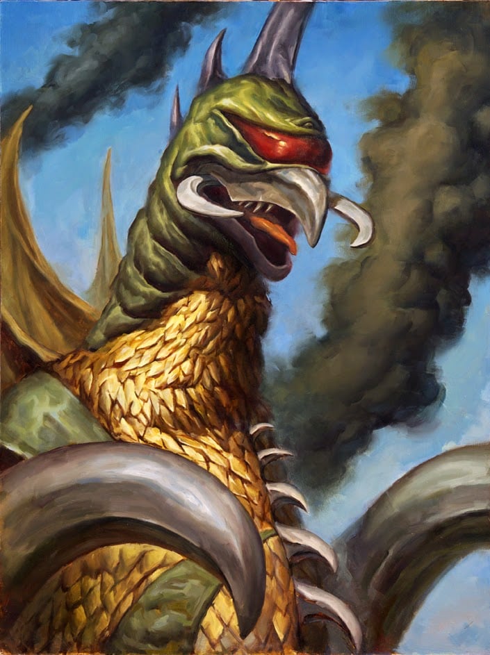
I personally like the peters because it looks like North america is a fat baby dragon.
That’s one way to annex Russia
This is especially disturbing when you consider that, for most of us, most of our knowledge consists of such secondhand, literally-interpreted abstractions. And then this bogus knowledge is firmly validated by our similarly deluded peers.
An organic version of The Matrix.
It’s a dad joke sir.
It highlights the role of interpretation in our social epistemology. A dozen people can cite the same argument, all nodding their heads wisely, coming to a good and reasonable agreement, yet hold a dozen different meanings
You must be fun at parties.
It’s important


![Greenland Size [xkcd]](https://lemmy.world/pictrs/image/18d389e1-6a72-4a7d-9513-5fe2eb7a6988.jpeg)